Cyn Trail, Big Tujunga Cyn
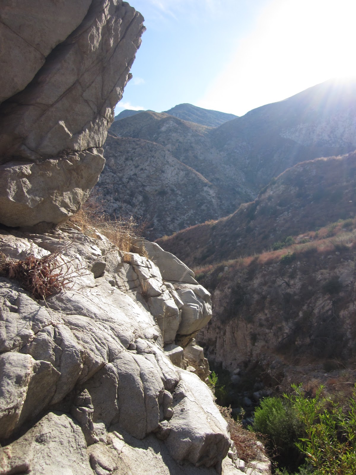
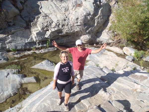
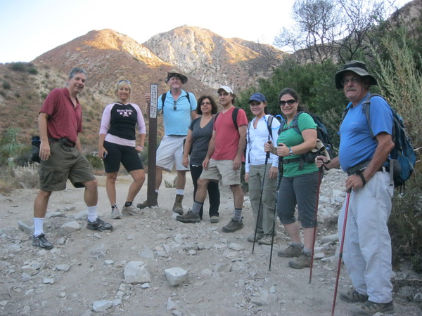
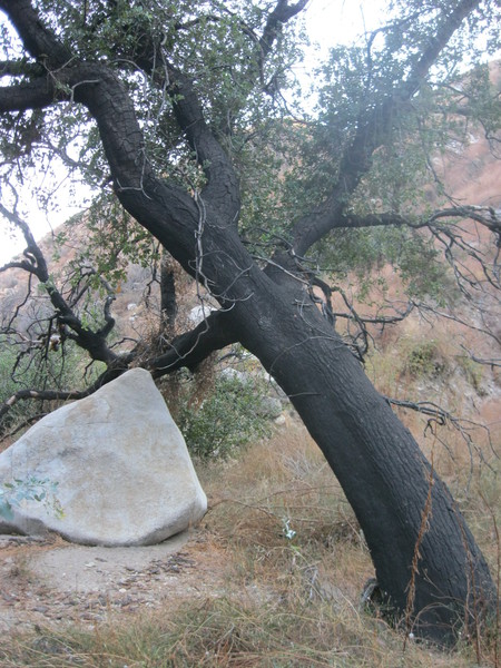
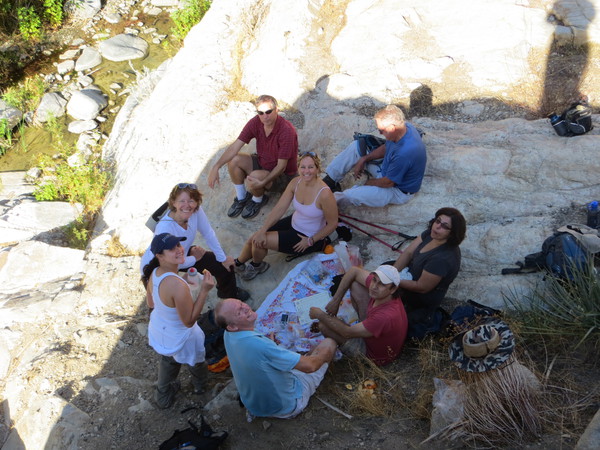
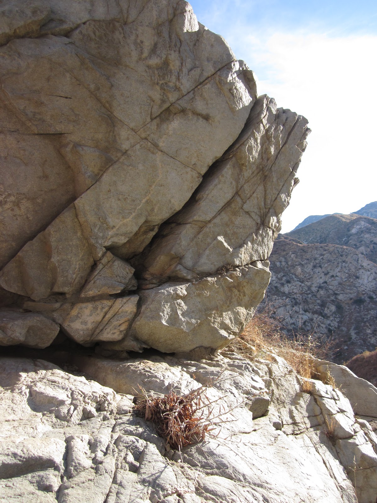
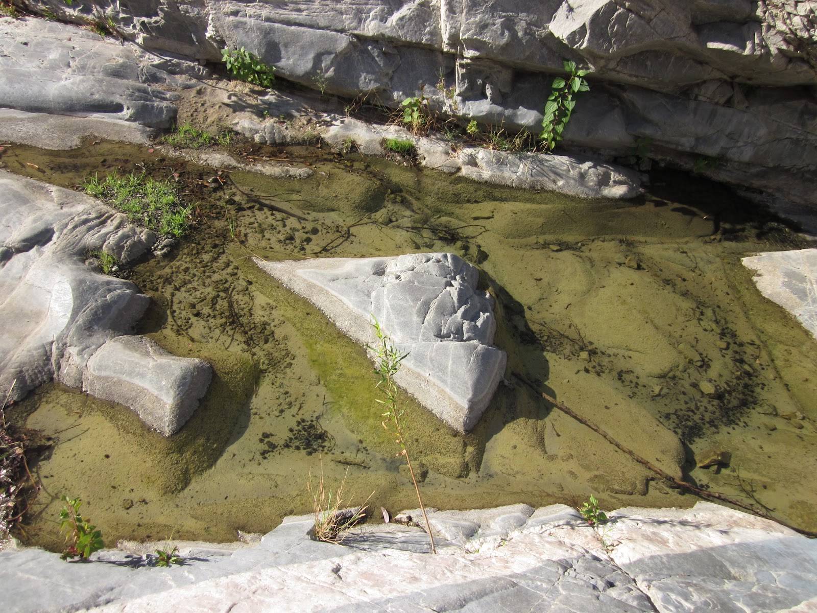
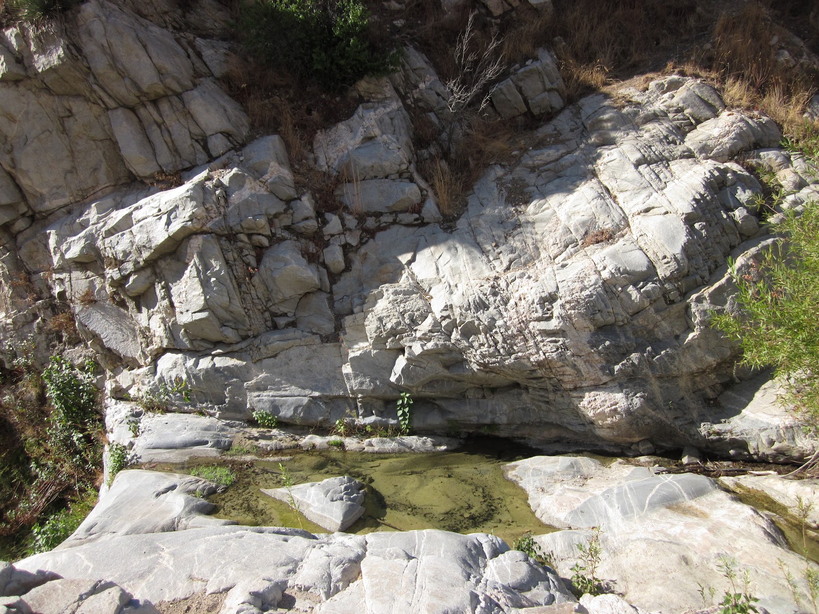
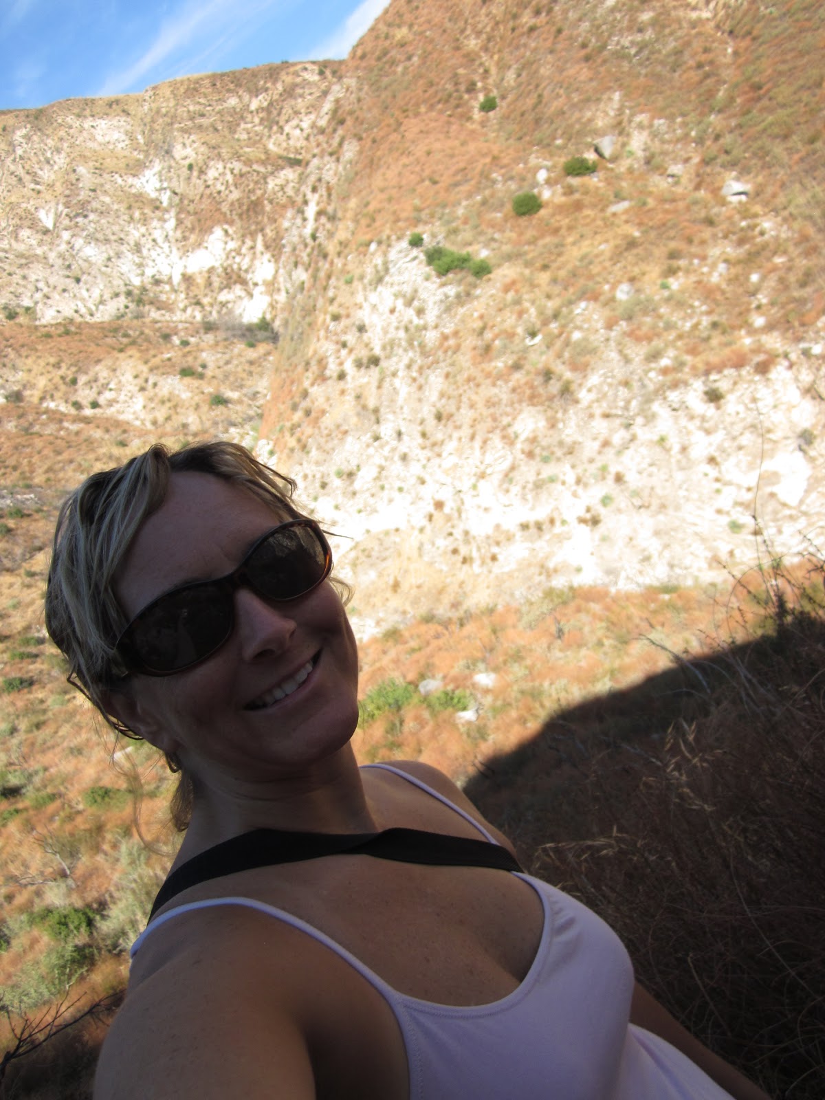
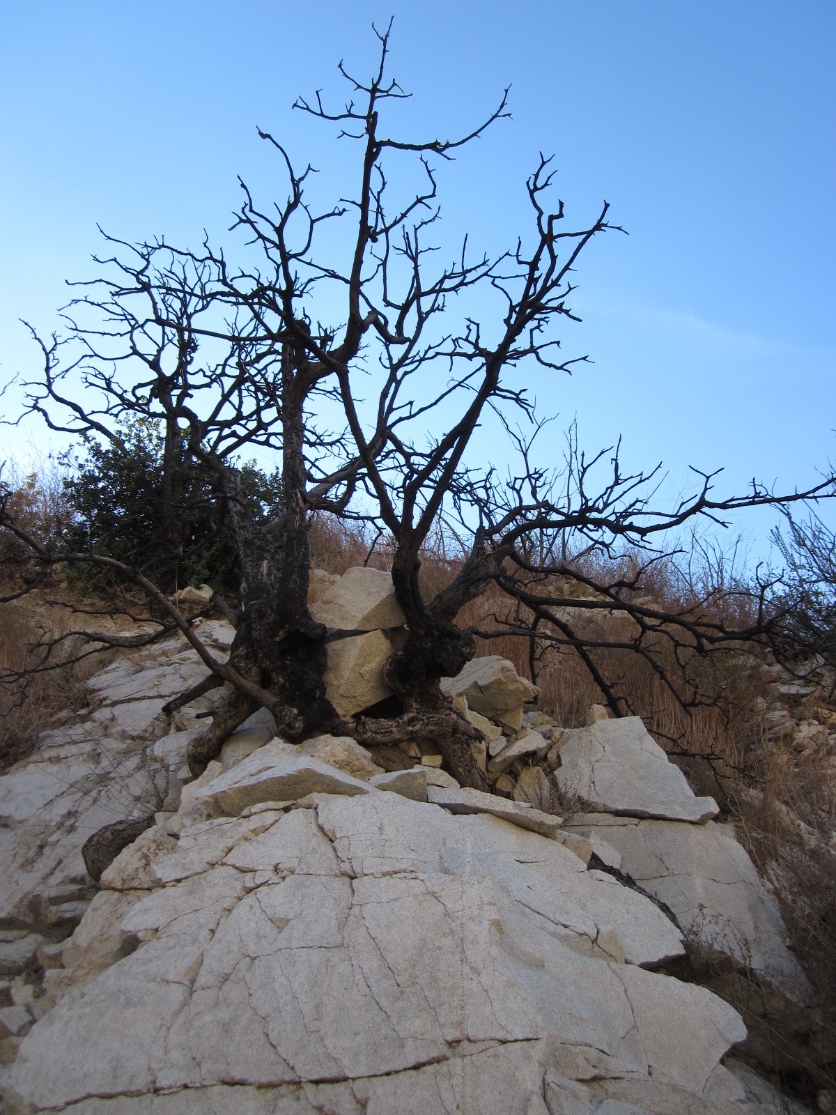
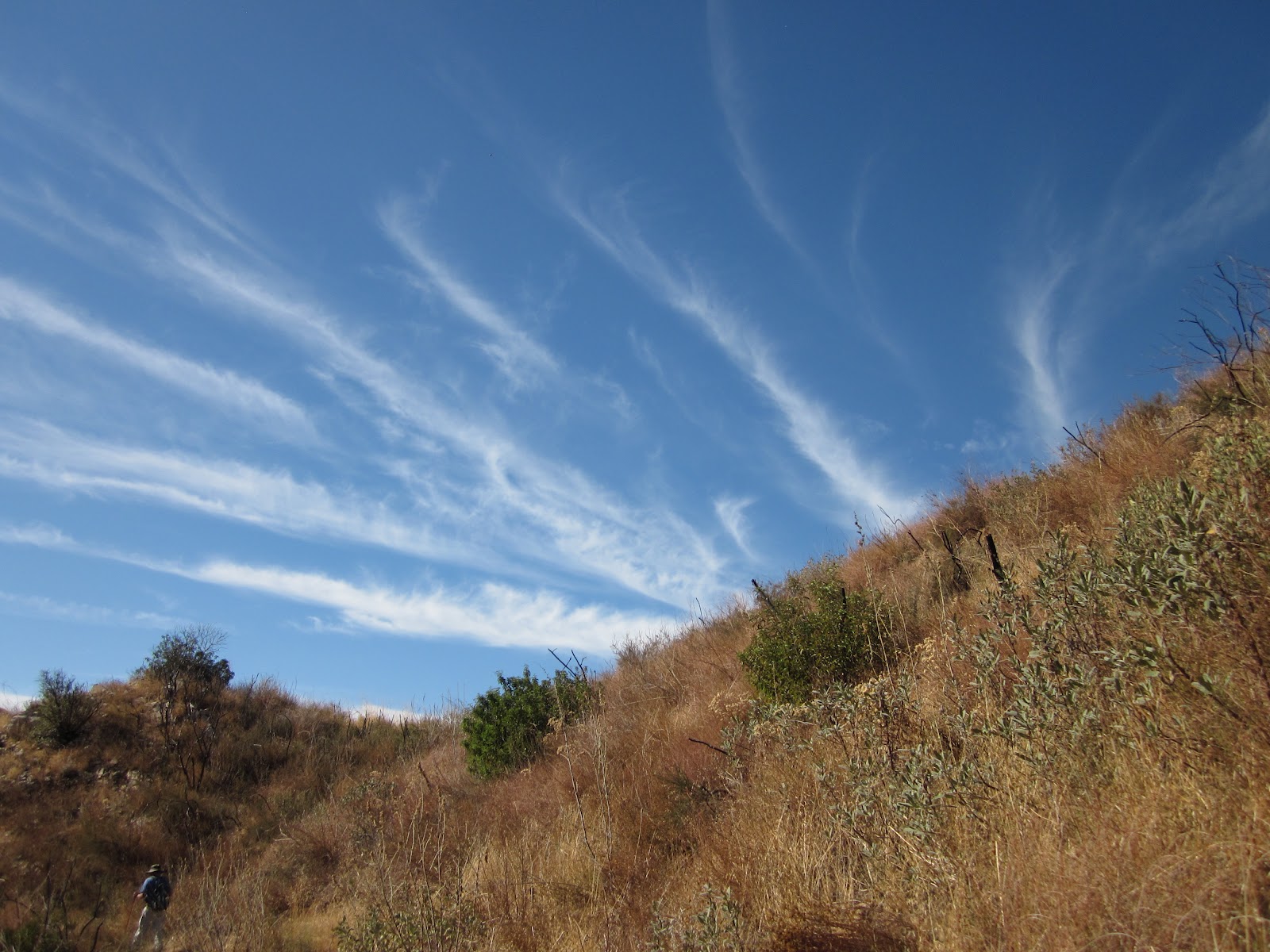
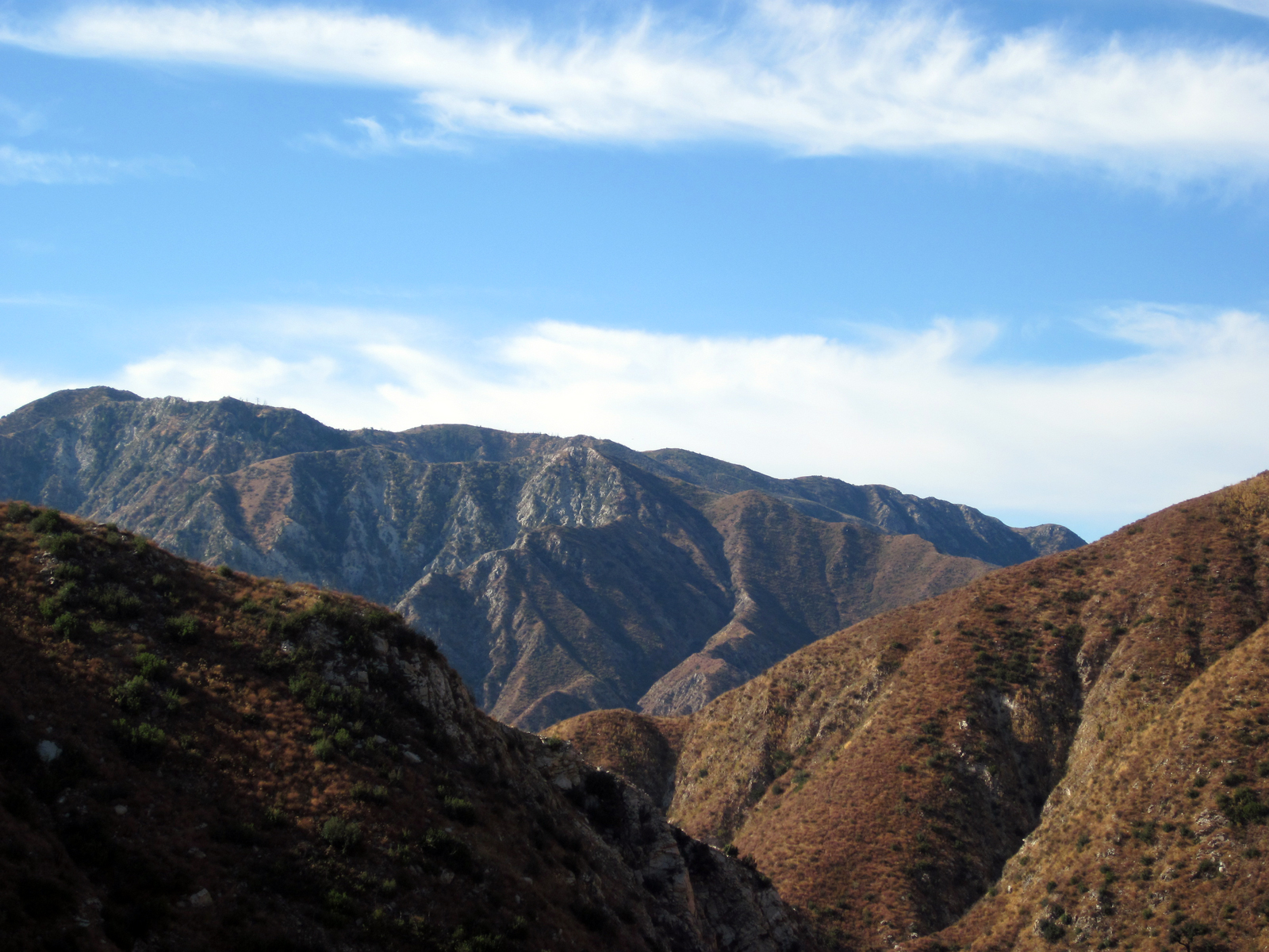
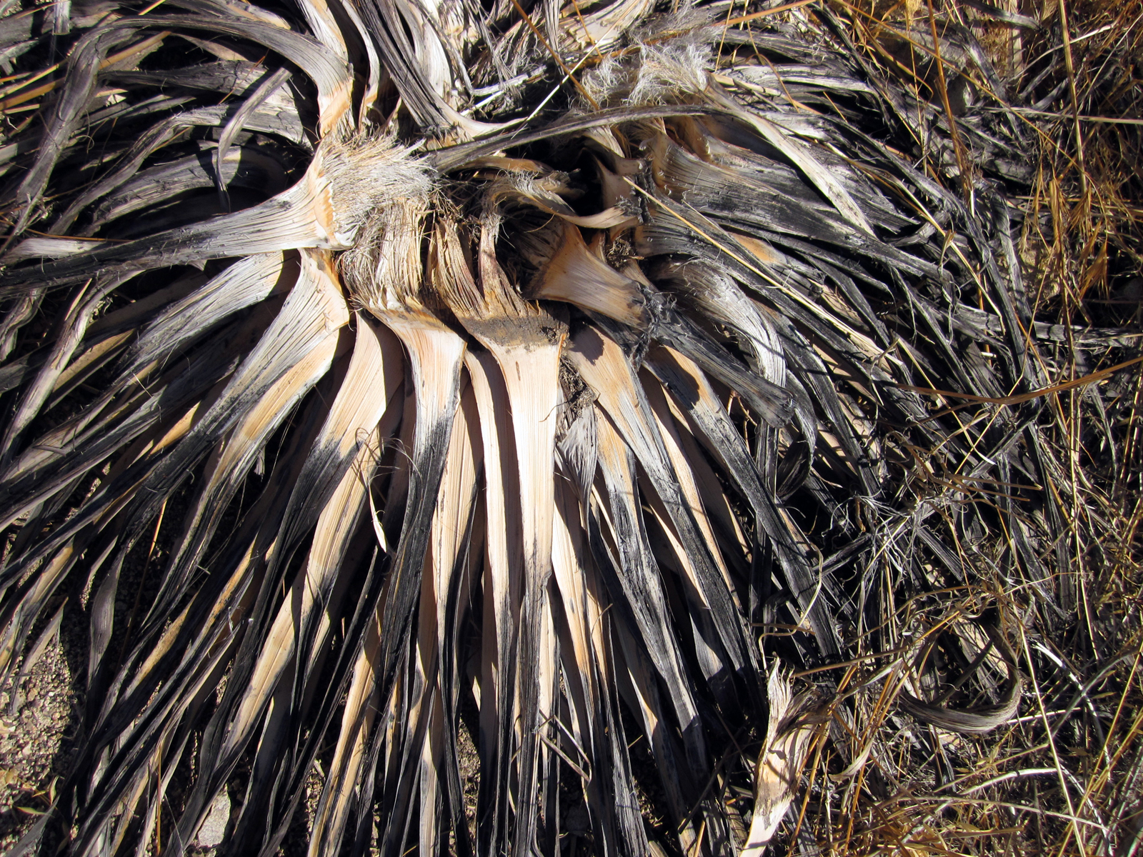
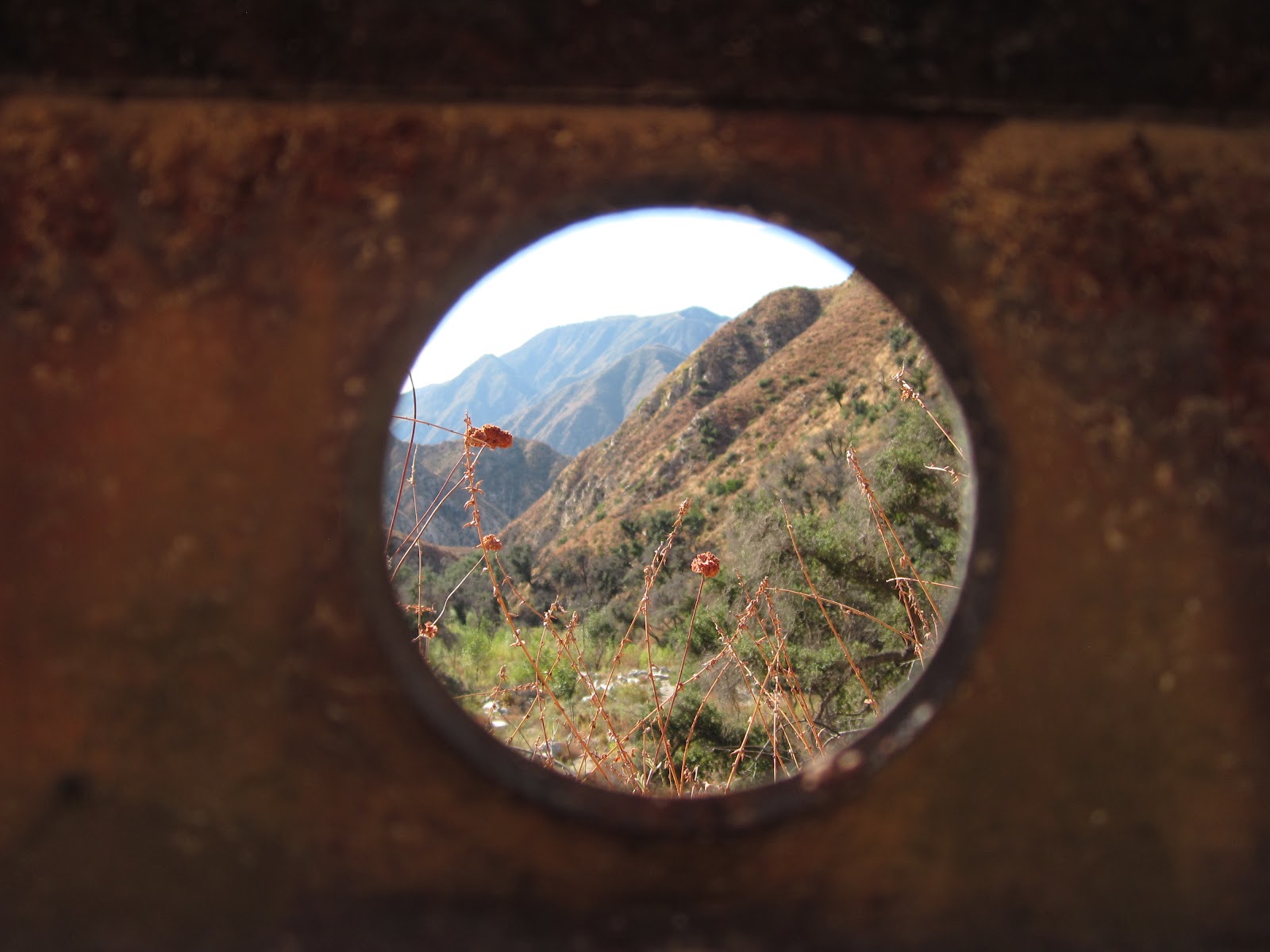
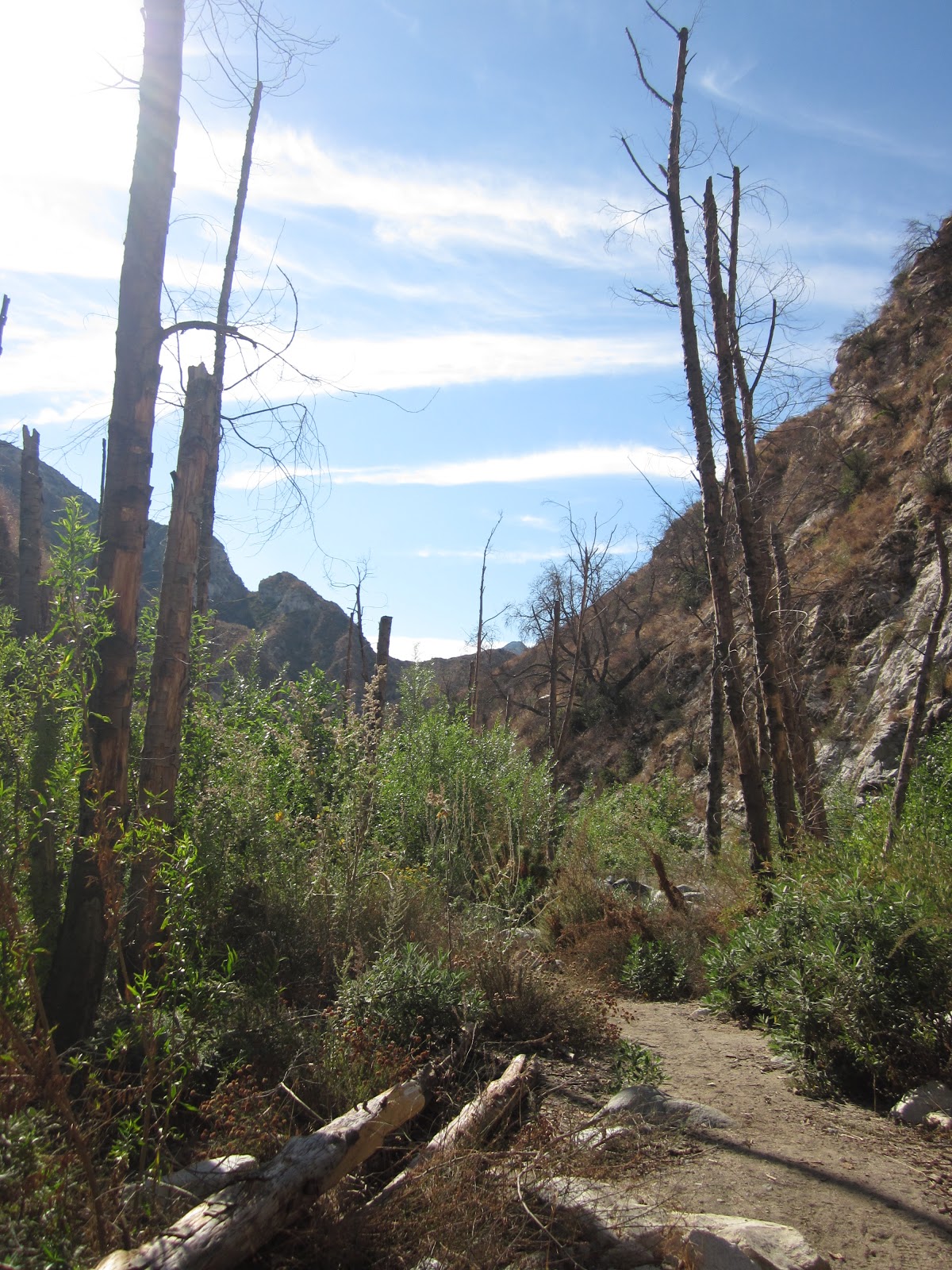
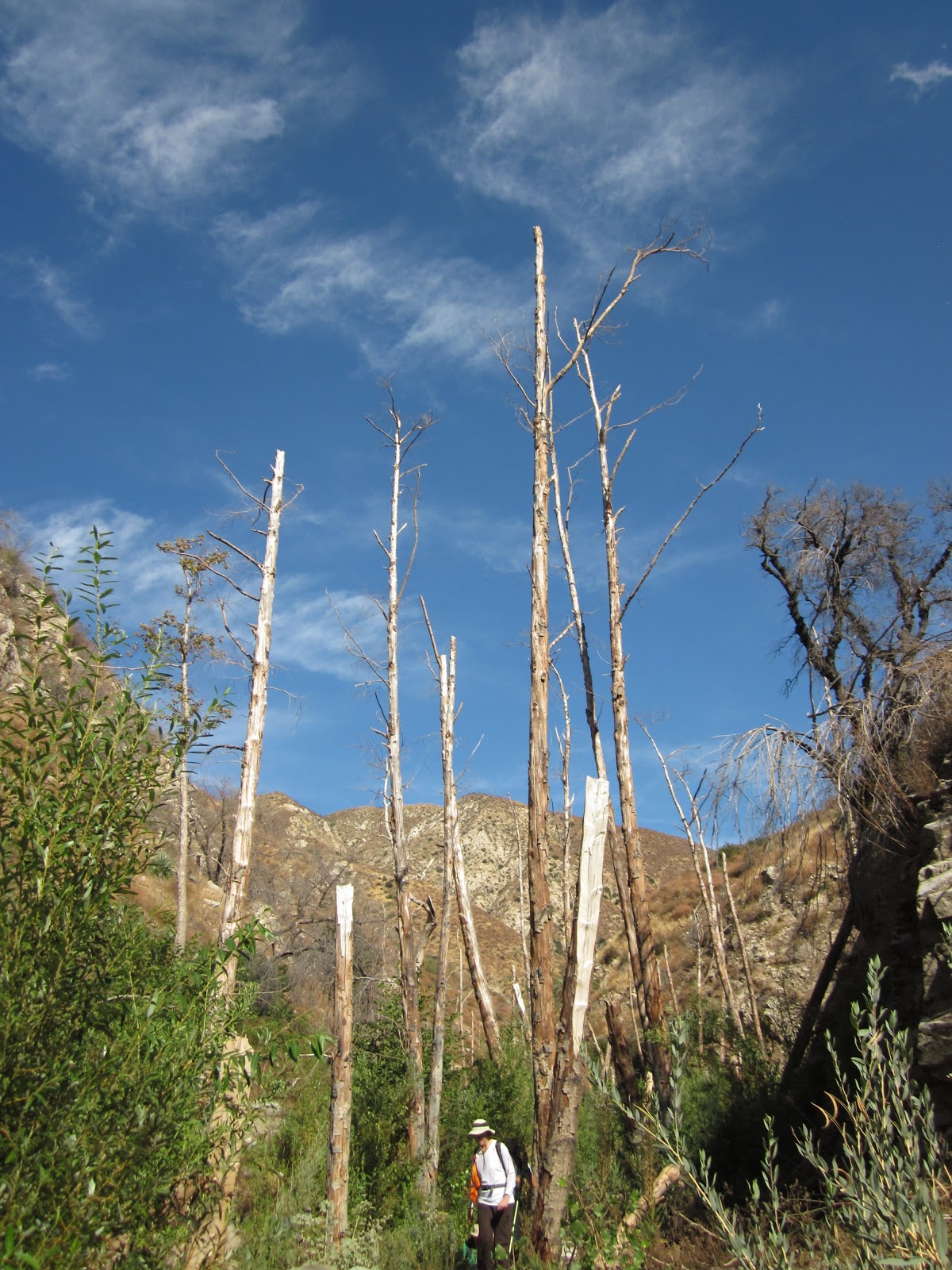
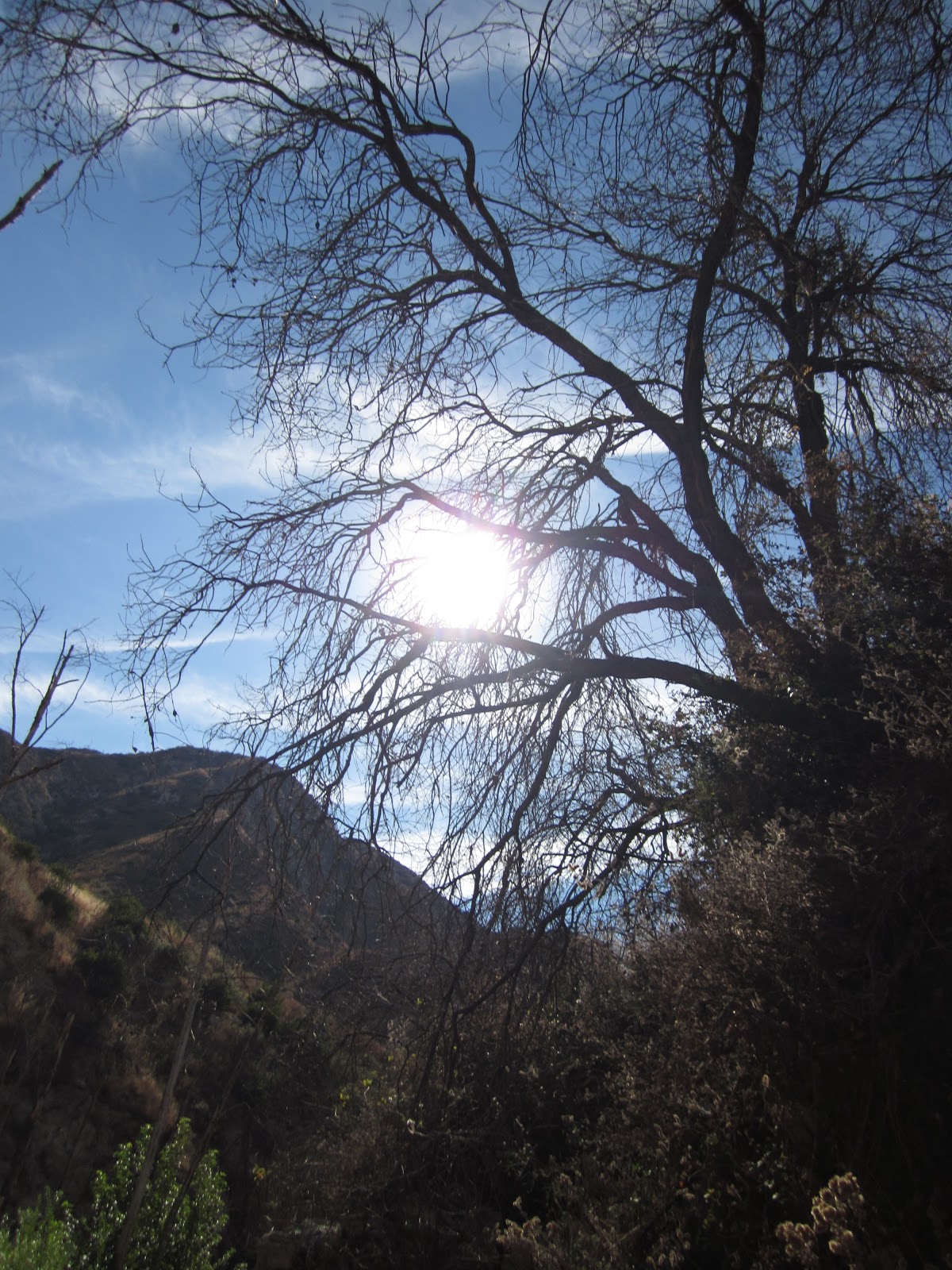
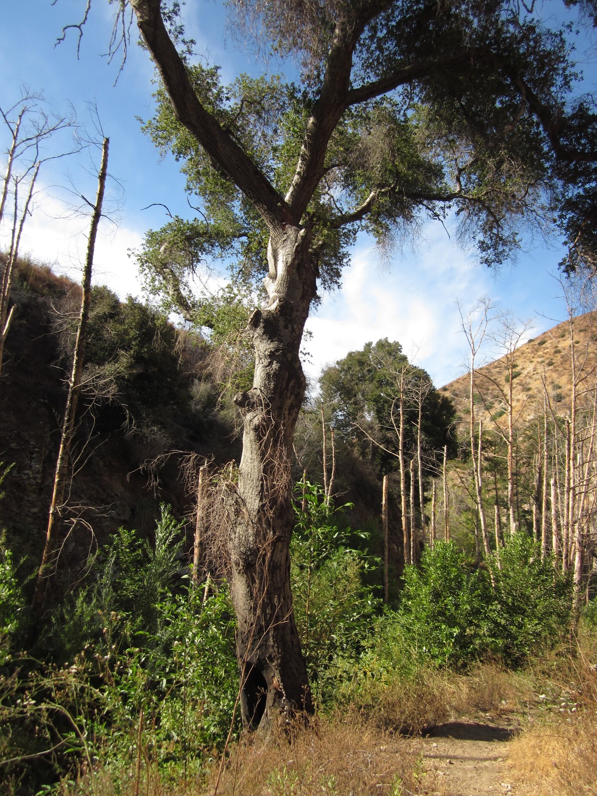
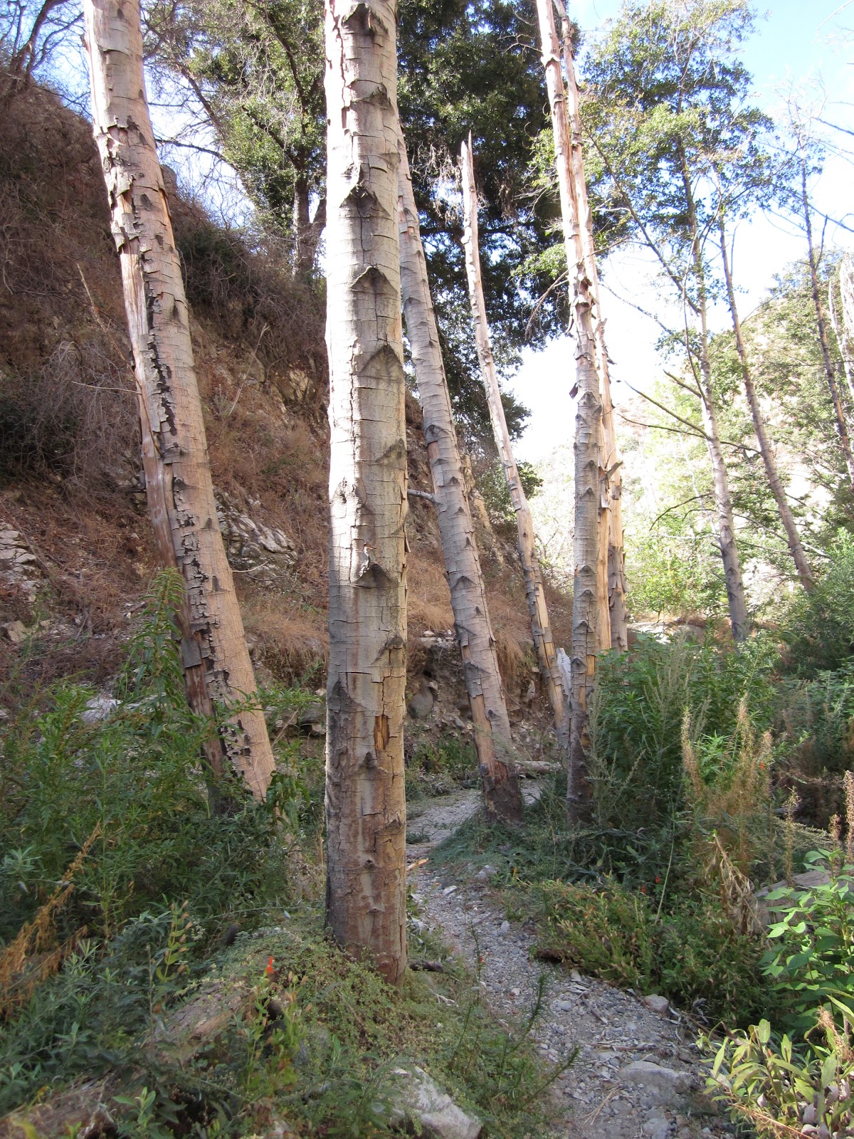
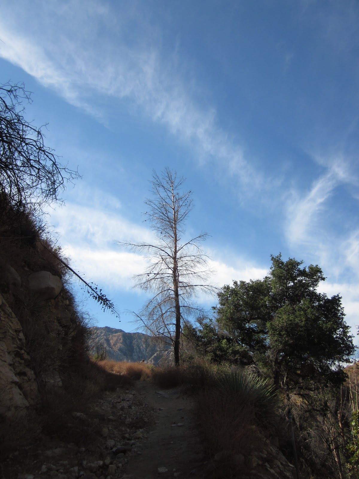
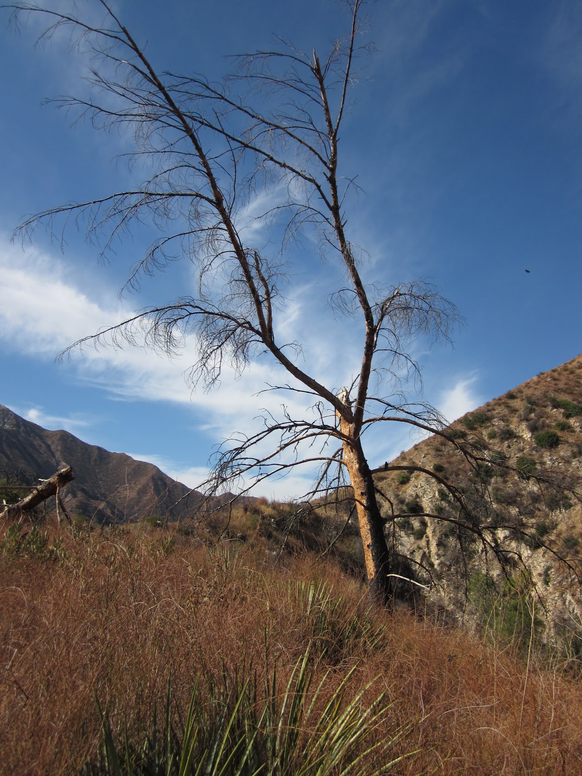
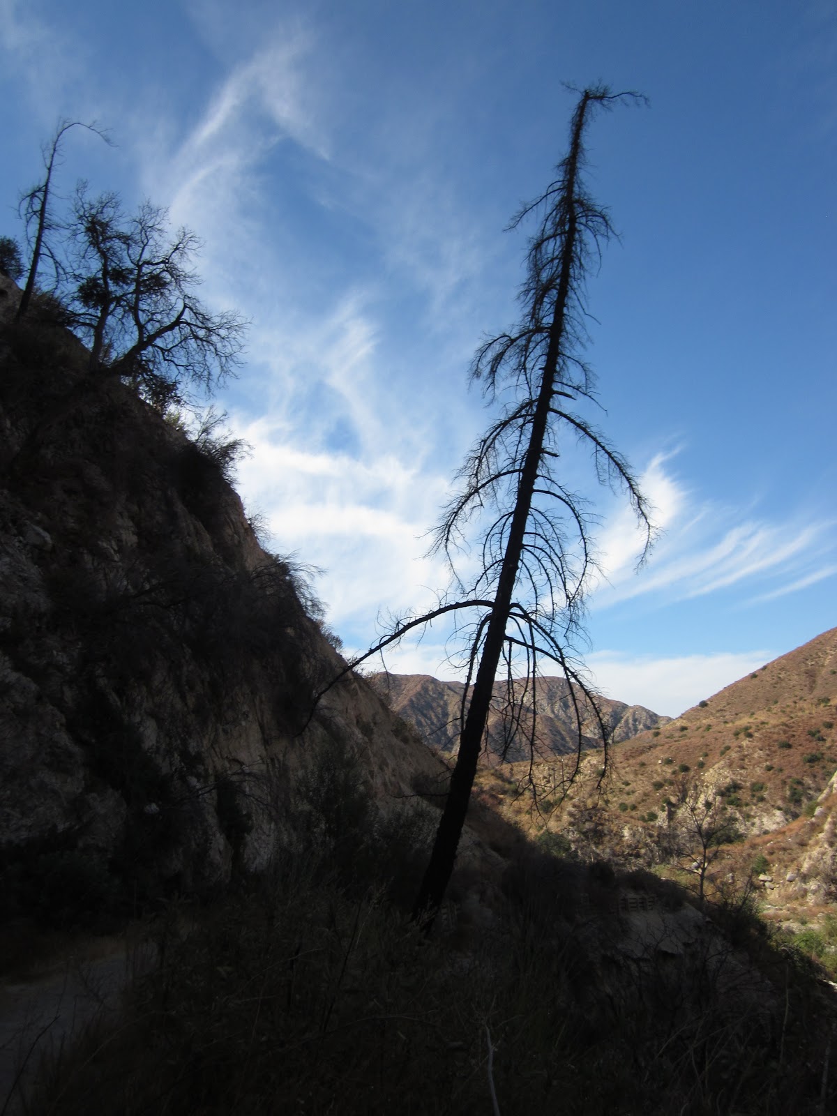
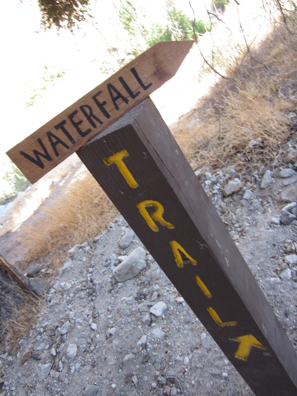
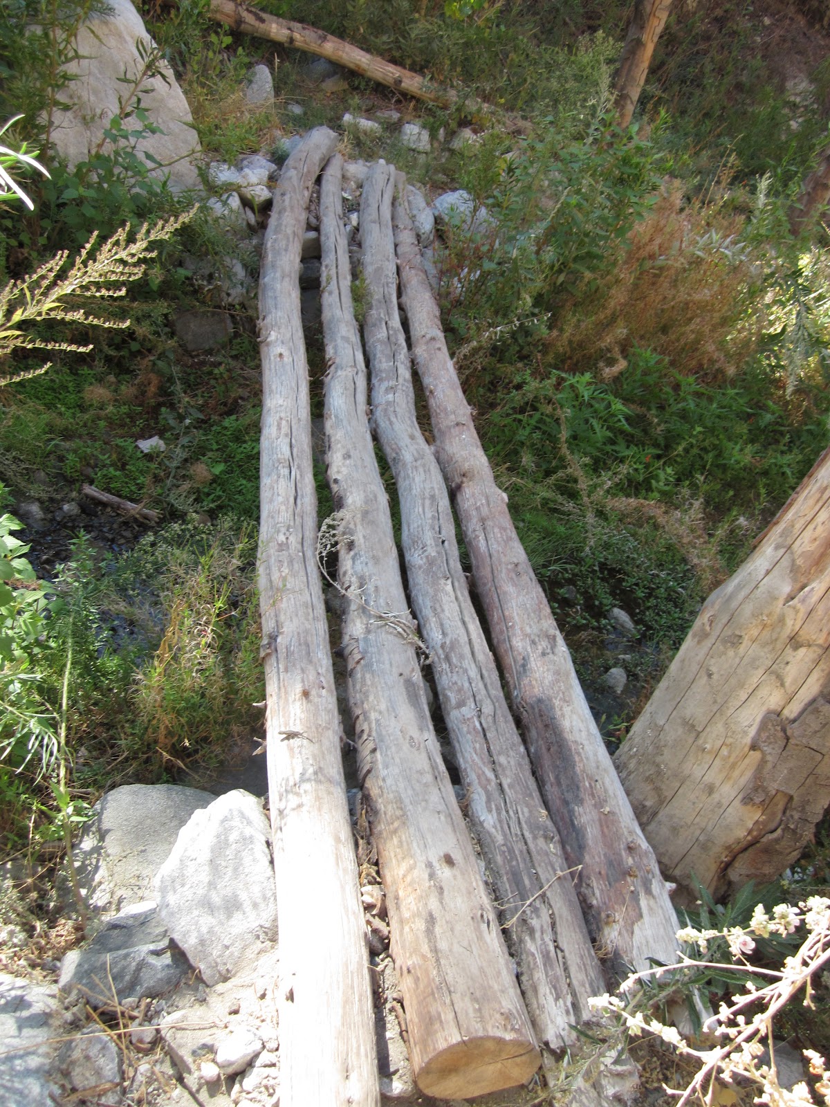
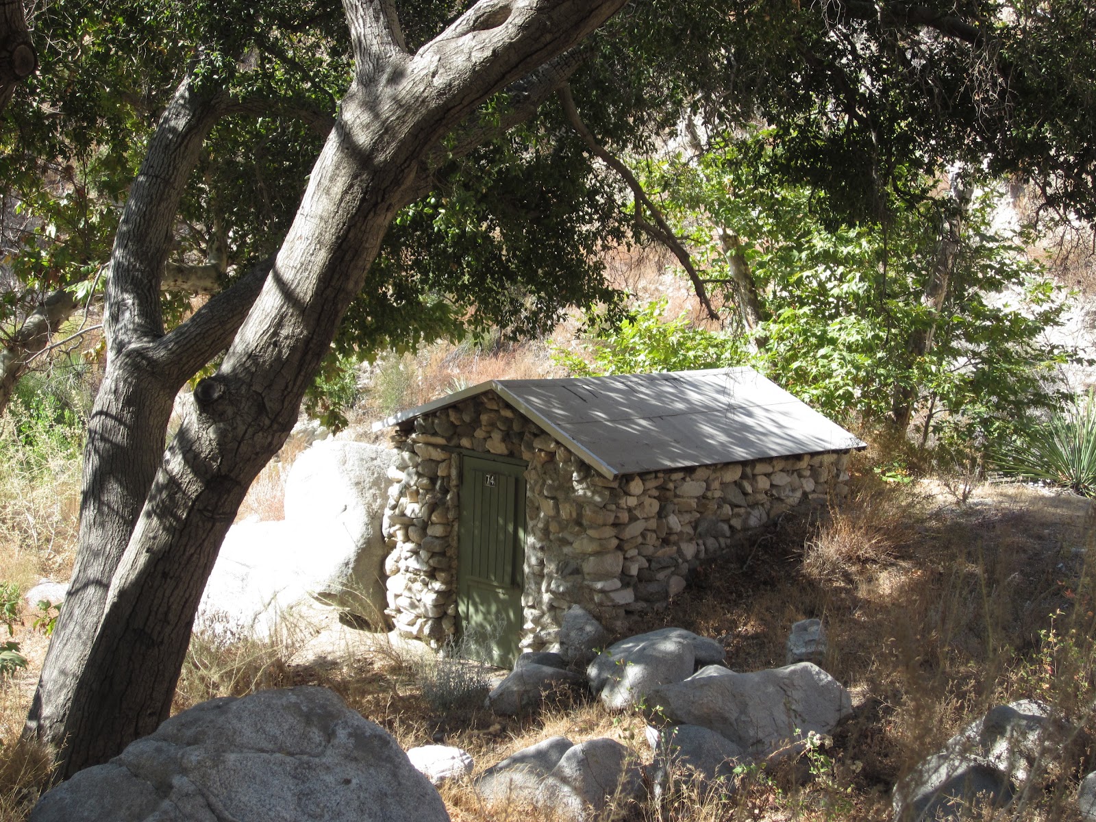
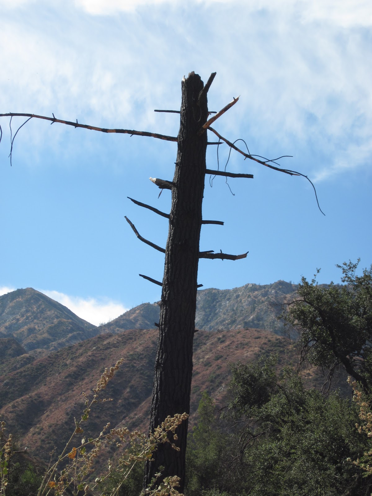
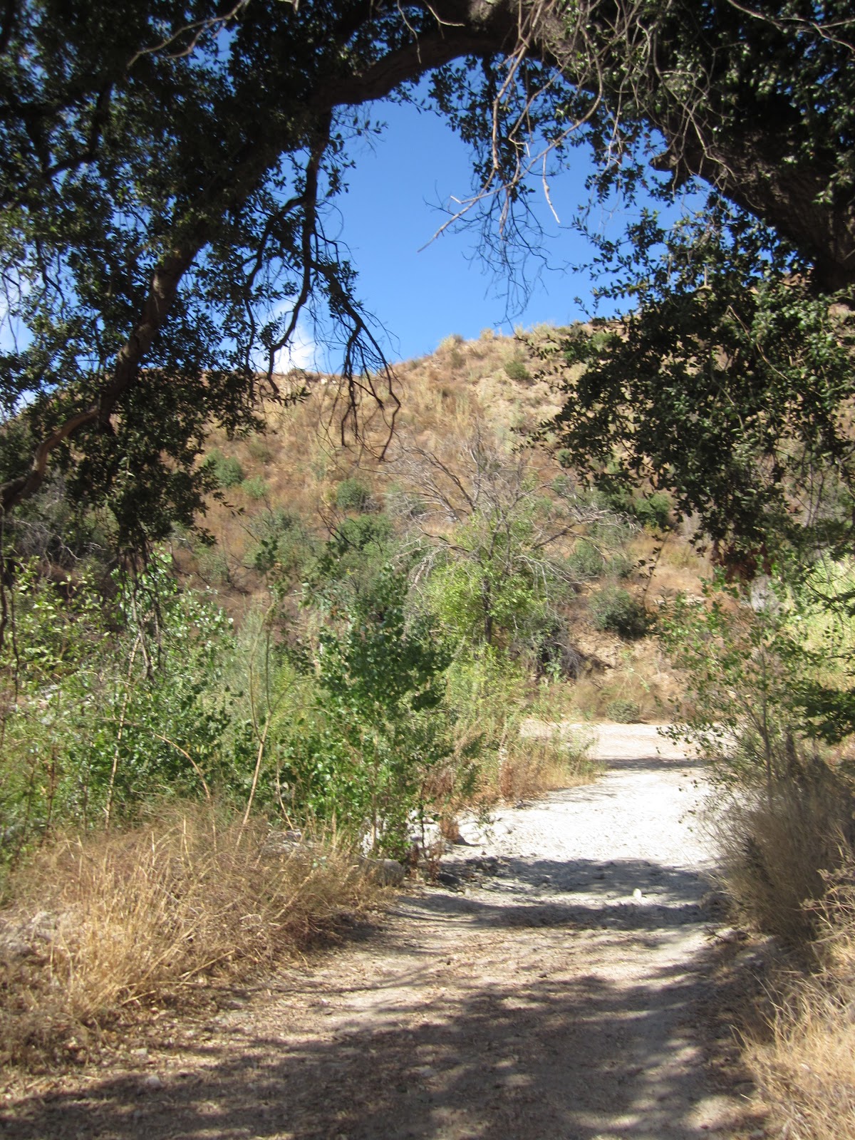
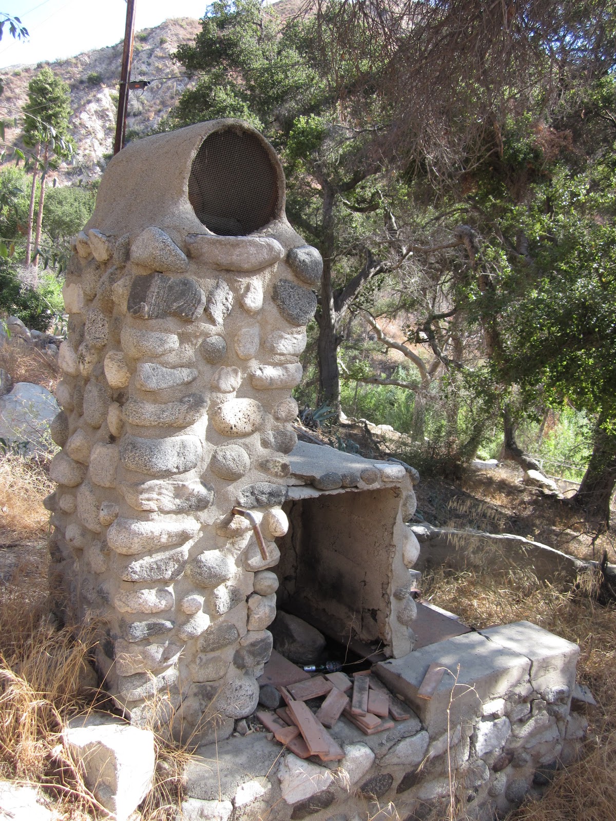
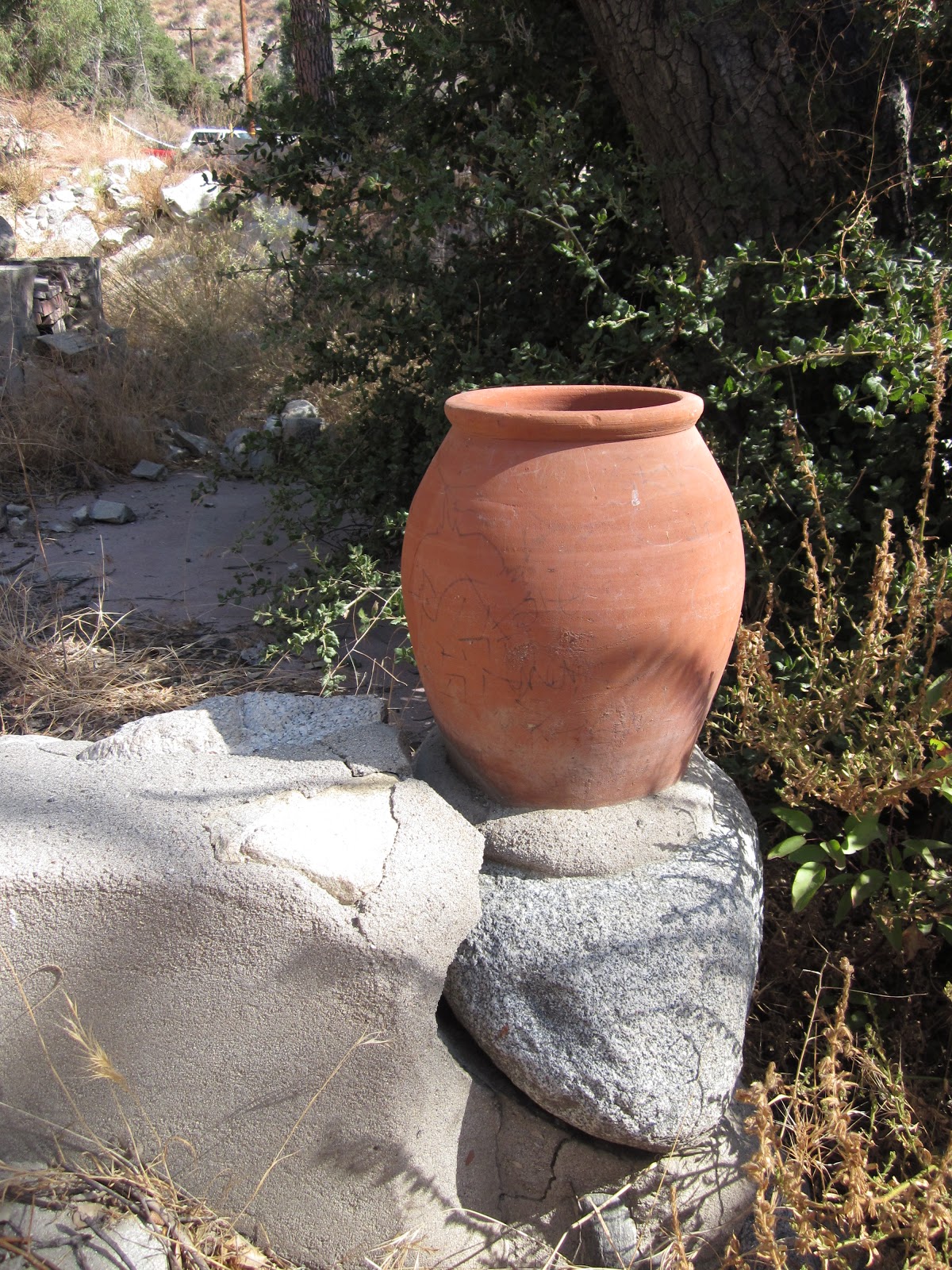
Who’s ready for a swashbuckling adventure Saturday? Wobbly tree trunk bridges over surging torrents of water. . . treacherous rock outcroppings . . . narrow trails with dizzying drop-offs.Then, you’ve come to the wrong meetup.This hike is so lazy, it couldn’t come up with a more provocative name than by using “trail” twice.But given the expected high 90s/100s temperatures Saturday, this fits the bill as it’s: short, in the shade of canyon walls for at least a bit, and does end at what is described by some as a “falls,” but more truthfully, I’d call it, “Trail Canyon Trickle.” Plus, we haven’t hiked in the ‘hood before, and it avoids the dreaded Carmageddon II corridor. Case closed.Yucks aside, this recently-reopened trail (closed since the Station Fire until May of this year) does offer some adventure-lite fun, some interesting ruins of burned cabins (a bit like Solstice), as well as very pretty views of Condor, Fox and other peaks in Tujunga.We’ll start by heading up a fire road, arriving soon at the ominous “Trail Not Maintained” sign (shiver), where the road narrows to a trail. We’ll climb up a ridge, then descend to a creek passing over a treacherous bridge of four logs that is at least 18” — maybe even 24”! — above the water. From there we’ll wind up and down narrow trails, cross the shallow stream a few times, scramble over an occasional downed tree trunk and some rocks in a dry creek bed before starting a steady, long climb out of the canyon.After the trail flattens out a bit, we’ll turn to the west and see the Falls/Trickle in the distance. We’ll continue on the trail until it joins the creek upstream of the falls, then rock hop/stroll down to the top of the Trickle to peer over the edge to the pool it dribbles into, about 50 ft. below. We’ll take a break here on the rocks, then climb up a short, steep route to rejoin the main trail. If it’s hot enough out, and if there’s enough water in the pool below the falls to make it worth the trek, any real Doras can try a steep path down from the main trail down to the pool (bring gloves if you’re interested in trying this). Then we’ll return back the way we came.STATSLevel: Advanced BeginnerGain: ~ 700 ft.Distance: ~ 4.5 milesTime: ~ 3 hoursType: Fire road, single track dirt, minor rock scrambling, out and backDogs: Permitted on leash, but not recommended due to trail conditionsWater: Not available at trailheadRestrooms: Not available at trailhead; they may be available at Sunland Park (see carpool location), or at the Shell Station or Starbucks near Oro Vista and Foothill.Parking: National Forest Adventure Pass required, $5/day from Big 5, Sports Chalet, REI, other sports storesBring: Water, sunscreen, hat, boots or trail runners with good treads (no tennis shoes), snacks to share at our break. Gloves if you want to try the brushy scramble to bottom of falls.
DIRECTIONS:The biggest adventure with this hike may be finding the parking lot. I suggest you print these out for reference, as there is no cell phone service at the trailhead. Call me before Saturday if you have any questions.If you don’t have an Adventure Pass and want to carpool or can drive for the carpool, email Shawn.
Directly to the TrailheadAn approximate address (per Google Maps) for the trailhead is 4108 Big Tujunga Canyon Road, Sunland, CA 91040.From the 210 East or West, exit at Sunland Blvd. (Exit #11) and turn North towards Sunland – Tujunga.Take Sunland Blvd. (which becomes Foothill) about .8 miles to Oro Vista Ave. and turn left (after the Jack in the Box). Note there’s a Starbucks just past Oro Vista on the left). Continue on Oro Vista Ave. until it curves to the right and becomes Big Tujunga Canyon Road. If you zero your odometer at the end of Oro Vista, it’s about 4.4 miles to a dirt road turnoff for Road NF 3n-29, where you’ll turn left to drive to the trail head. This turn is very easy to miss, so please be alert.Some signposts/landmarks along the way: about 3 miles after getting onto Big Tujunga Canyon Road, you’ll pass the “Entering Angeles National Forest” sign on your right. Later, you’ll see a small green/white sign for Thundering Hooves Ranch on your right and then you’ll go over a bridge. The left turn will not be too far beyond that. If you pass Ottie Road to your right, you’ve gone too far; turn around and watch for the turn off that will now be on your right.Once you’ve turned from Big Tujunga Canyon onto Road NF 3n-29, drive slowly as the fire road is rough. When you come to a Y in the road, stay to the right on Trail Canyon (the left takes you to Gold Creek) and continue to the parking lot at the end where we’ll meet. You’ll see a stone cabin to your right.It’s about .4 mile from Big Tujunga Road to the Trail Canyon parking lot. Remember to display your Adventure Pass from your rearview mirror or dashboard.


Categorised as: Uncategorized
Leave a Reply
You must be logged in to post a comment.