Beaudry Motorway
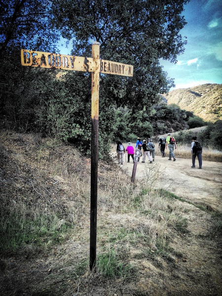
Verdugo Mountains, BEAUDRY MOTORWAY Hike.
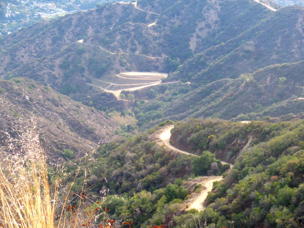
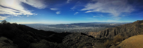
Known also as the South End Loop, very conveniently located to Pasadena, Glendale and the Valley. On a clear day, expect views of the San Gabriel Mountains, L.A. basin, the ocean, Catalina, San Jacinto, San Gorgonio and Old Saddleback, plus more. The route is entirely on fire roads, making navigation easy, even if the elevation gain is considerable.
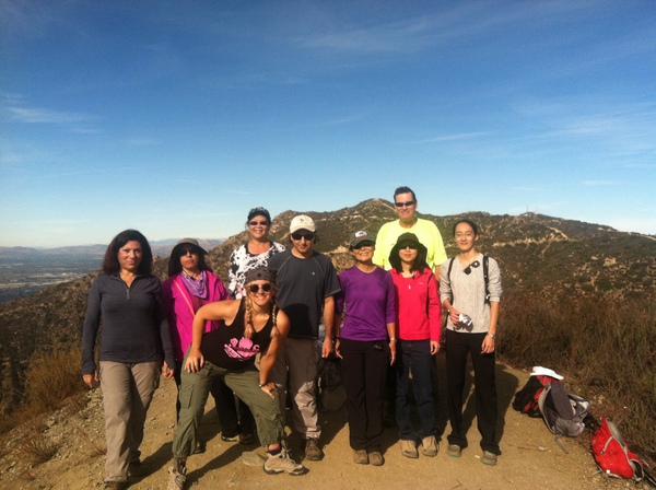
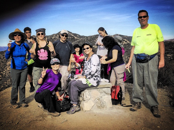
This is a nice, uphill intermediate hike with plenty of great views all around. This is a great workout packed in a short hike. There is a special spot at the top to enjoy the 360o breathtaking views of the area.
GPS data: 5.71 miles,1388″ altitude gain,Dogs ok but leash required2 hours moving time and 2.5 – 3 hours total
DIRECTIONS:
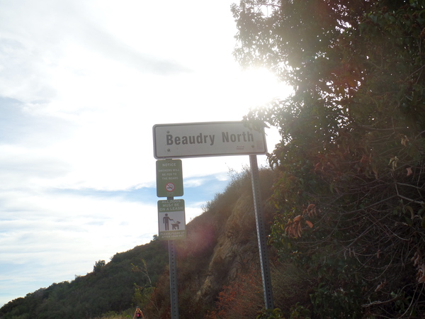
FROM GLENDALE:Take Glendale Avenue heading north. Glendale Ave will become La Canada Blvd. Turn left on Country Club Drive.Turn left on Beaudry Blvd. (Once you’re on Beaudry, go slowly because there are no clear markings for the trailhead.)You will see a sign that says 15 MPH with an arrow indicating a sharp turn. This is where Beaudry Blvd. turns and becomes Beaudry Terr. You’ll see a wire fence in front of you (on the left side of the street) and that’s where the hike starts. Find parking on the street (This is near the address 1300 Beaudry Blvd.)
FROM LA CRESCENTA:Head south on La Canada Blvd towards Glendale. Turn right on Country Club Drive. Turn left on Beaudry. Follow the rest of the directions listed above.
Categorised as: Uncategorized