The Bridge To Nowhere
THE BRIDGE TO NOWHERE: This is one of my favorite hikes.
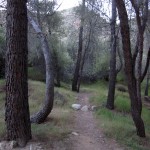
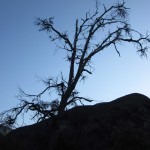
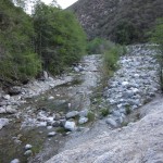
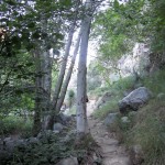
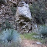
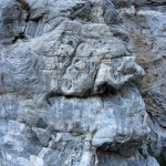
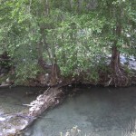

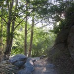
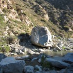
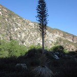
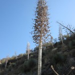
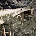
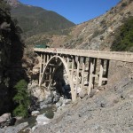
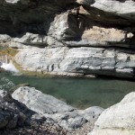
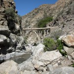
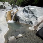
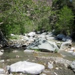
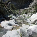
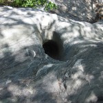
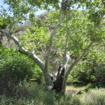
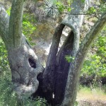
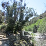
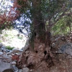
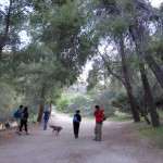
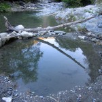
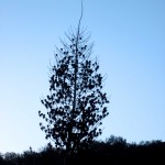
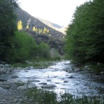
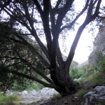
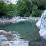
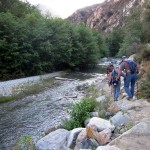
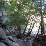
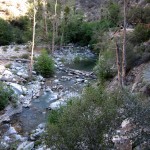
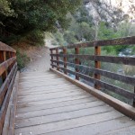
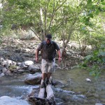
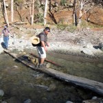
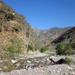
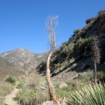
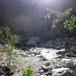
The hike takes you along the banks of the East Fork of the San Gabriel River. The river banks are wooded and there are several river crossings. The highlight of the hike is a mysterious bridge built over the East Fork in 1936, which has no road leading to it. Actually, in the 1930’s a road did lead to it, but was swept away by floods in 1938. The trail continues beyond the bridge and becomes a little more pristine as it is less traveled.
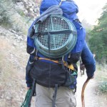
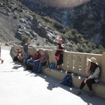
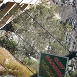
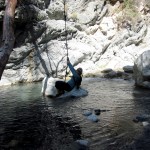
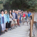
The hike: You may get wet ! ! ! This is a moderate hike of about 10 miles – there are no strenuous hills, but it is not recommended unless you have hiked at least 7 or 8 miles previously. There are several stream crossings and a portion of the trail is rocky riverbed. If you are not adept at walking on logs and/or rock hopping, plan to get your feet wet. It is fun to continue on beyond the bridge to explore before turning around. or hang out at the bridge and watch the bungee jumpers. A great place to meet, is in the parking area near the trailhead gate (East Fork Ranger station). The early start time is to get to the parking area before it fills up with Bungee America clients. Parking is limited (Adventure Pass required) and the closure of so many other places in the Angeles National Forest has increased the popularity of those that are still open. I highly recommend car pooling. There is a great small market/cafe before you get there that will sell a day pass for $5 but not open too early so unless you go later in the day, don’t plan on buying one there. But they are awesome peeps and helped me after the hike.. I had major bleeding blisters on my heals and they set me up with first aid! Plus they have a lot of great drinks, so you can grab before you go or plan a stop by after. Ok that is my plug for the great lil store.
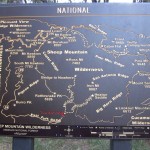
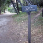
DIRECTIONS: If you use Google Maps and enter “Camp Bonta Prairie Forks Rd, Los Angeles, California” – it will show you the area, but if you request directions it will take you thru Glendora – this is O.K., but not recommended as the directions look complex – My preference is to take Azusa Ave. (Highway 39) North up into the mountains -Turn right onto East Fork Rd – You will pass a sign on your right “Sheep Mountain Wilderness Road Ends 1/2 Mile” -Shortly after that sign you will approach a right-hand hairpin turn…DO NOT MAKE THAT TURN – Instead, continue straight onto the unmarked road directly in front of you. WATCH FOR TRAFFIC COMING DOWN THE HILL – The road will end in a parking lot just past the East Fork ranger station. There are restrooms there and at the bottom of the hill. The trailhead is at the far end of the parking lot. Watch for “No Parking” areas along the road – just because someone else parked there doesn’t mean yo will not get a ticket.
WHAT TO BRING: Ample water, comfortable shoes that you can walk in when they are wet, a snack or nutrition bar for along the way, something for lunch, a windbreaker or other light weight jacket, and maybe a dry pair of socks. I know people hike at different levels and I try not to leave anyone behind (you won’t get lost, if you get separated, just follow another group of people), but I cannot wait for someone who wants to change shoes at every water crossing. The water level should be low unless we get some serious rain between now and the hike. If you want to change your socks and shoes, do so after the last river crossing when we take the switch back up the canyon wall high above the river. This is about a mile or so before the bridge. I SUPER suggest bringing extra socks on the trail!! Also have a pair for when you get back to your car.
Info provided by Early Bird Hiking. With a few inserts from Jen.
Categorised as: Uncategorized
Leave a Reply
You must be logged in to post a comment.