Rainforest Trail & Fryman loop
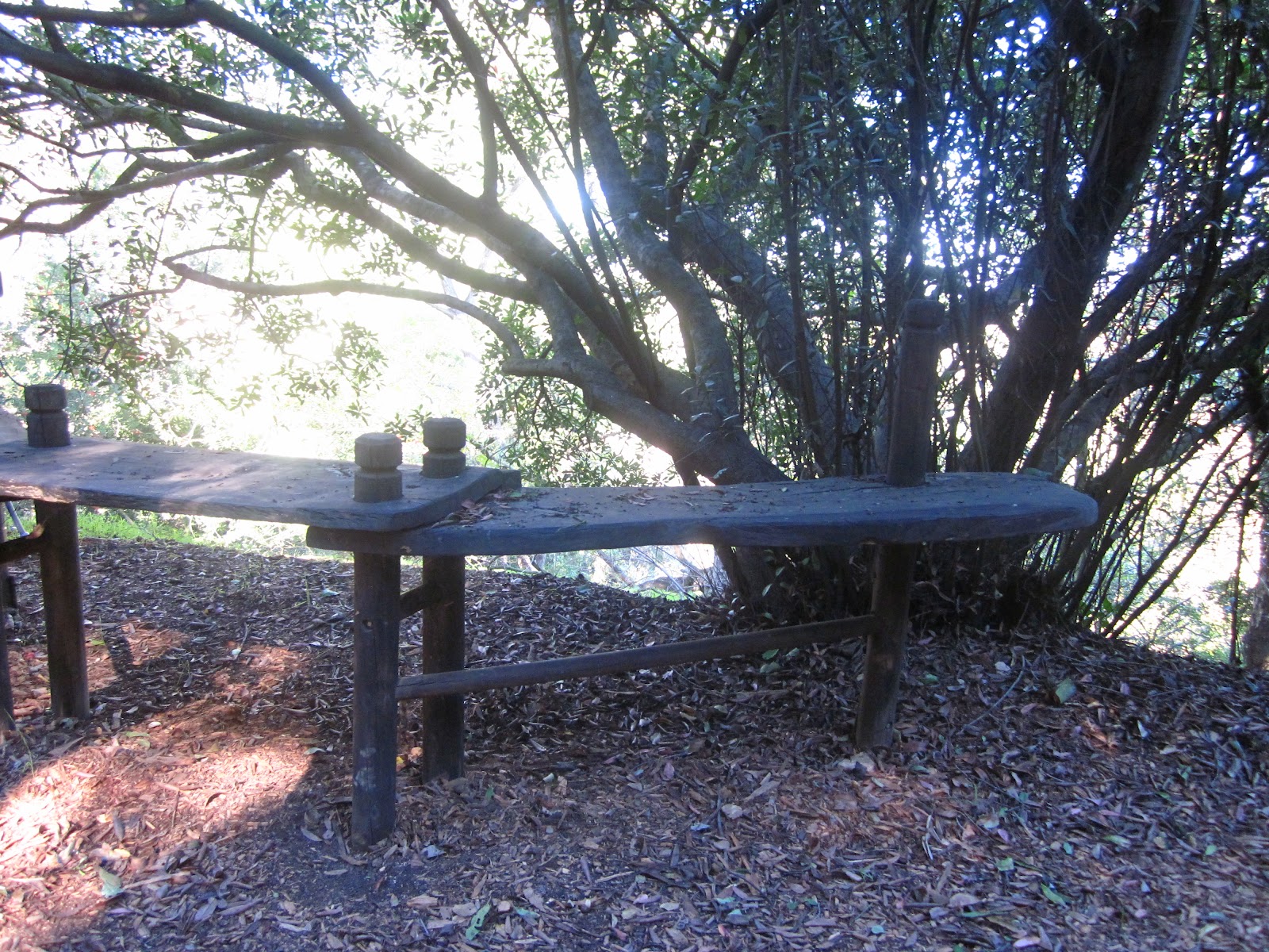
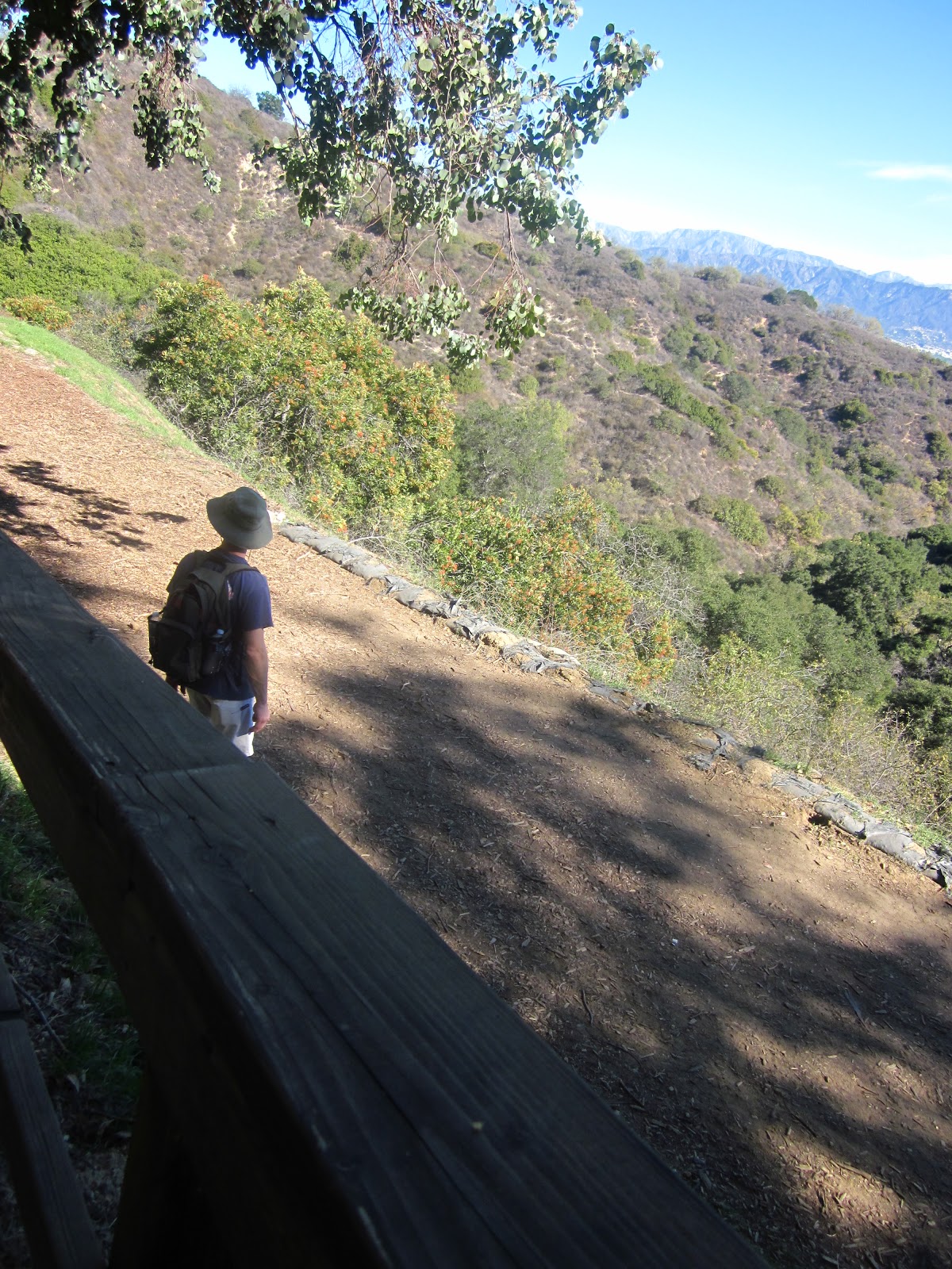
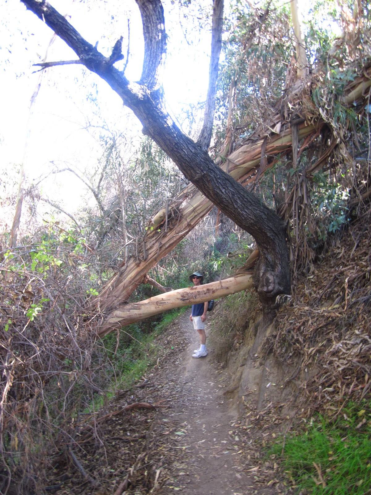
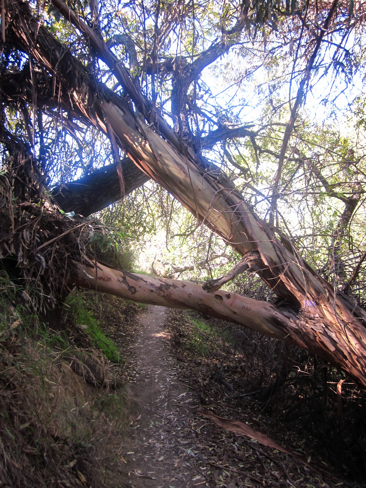
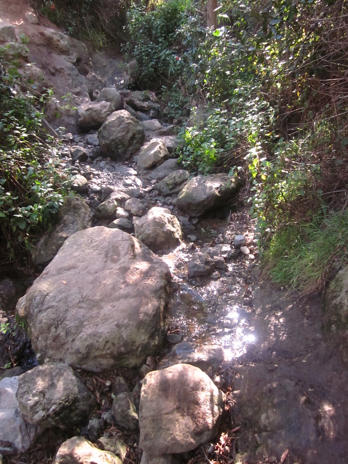
The hike starts in Fryman, but you have to go into a residential area and walk up a cul-de-sac to reach it. It looks like you are heading toward the driveway of a very nice house.About 20 feet in, a sign declares it the Rainforest Trail, and within half a mile, it starts getting secluded and very private.The trail has a lot of switchbacks that kind of loop around. Deep into it, there’s an abandoned car, and you can’t help but wonder, “How did that car get there?” It’s a woody trip, and I’d definitely recommend wearing long pants because there are areas with poison oak and brush.At the top, there’s a scenic overlook with a little workout station, just wood and bars where you can do sit-ups and dips, and benches where you can sit and read or appreciate the panoramic view of the San Fernando Valley. Or go around another way there is a rope swing that is dangerous and fun! Just don’t let go of the rope too early.
The particulars
Where: The Betty B. Dearing Trail rises out of the 128-acre Wilacre Park on the north face of Fryman Canyon in the eastern Santa Monica Mountains.What: A 4 1/2-mile round-trip hike that crests at a scenic overlook on Mulholland Drive between Laurel Canyon and Coldwater Canyon boulevards.How: From the San Fernando Valley, take Laurel Canyon Boulevard less than a mile south of Ventura Boulevard to Fryman Road. Wilacre Park is at 3431 Fryman Road, Studio City.There is a parking lot. There is a $3 fee for parking, so you may want to consider carpooling (the Studio City Plaza Shopping Center at the southeast corner of Ventura and Laurel Canyon Blvd. could be a meetup spot).
Back story: Maxwell Fire Road was rechristened the Betty B. Dearing Trail in 1992 to honor the conservationist dedicated to seeing the Backbone Trail completed, even though the trail that bears her name is nowhere near the Backbone Trail.


Categorised as: Uncategorized
Leave a Reply
You must be logged in to post a comment.