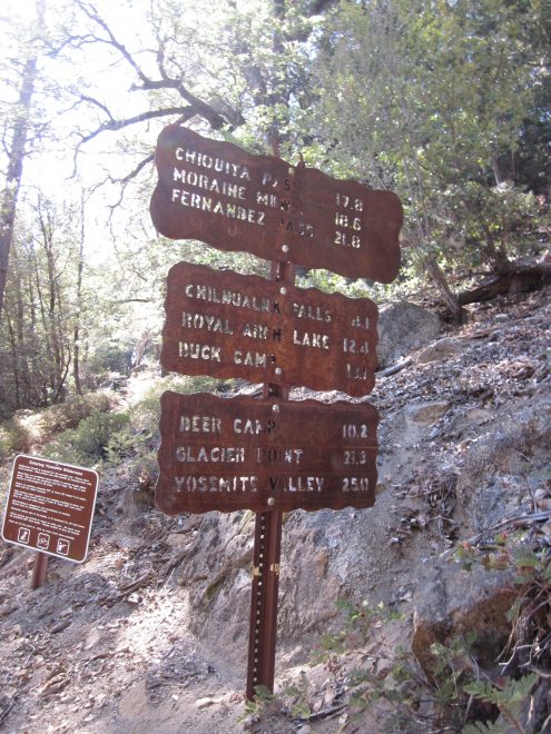
Chilnualna Falls Trail

Distance: 8.4 miles (13.5 km) round tripTrailhead Elevation: 4,200 feet (1,280 meters)Elevation Gain: 2,300 feet (700 meters)Hiking Time: 4 – 6 hours
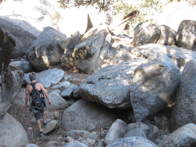
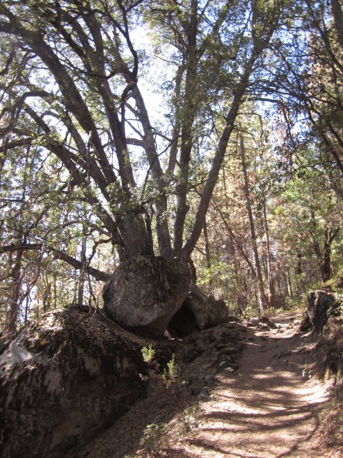
Why hike to Chilnualna Falls? While Yosemite Valley’s Mist Trail is world famous for its two waterfalls, the Chilnualna Falls trail has three, plus some lively bonus cascades near the beginning of the trail. It’s also practically deserted compared to the Mist Trail. The tradeoffs: it’s difficult to get near the uppermost falls at high water or to get near the tallest one at all, and the Mist Trail’s falls are taller and, being fed by a larger river, more spectacular.
Difficulty: Fairly strenous; a 7 out of 10. It’s not as steep as the most challenging stretches of the Mist Trail, but it climbs relentlessly and it’s a long hike.
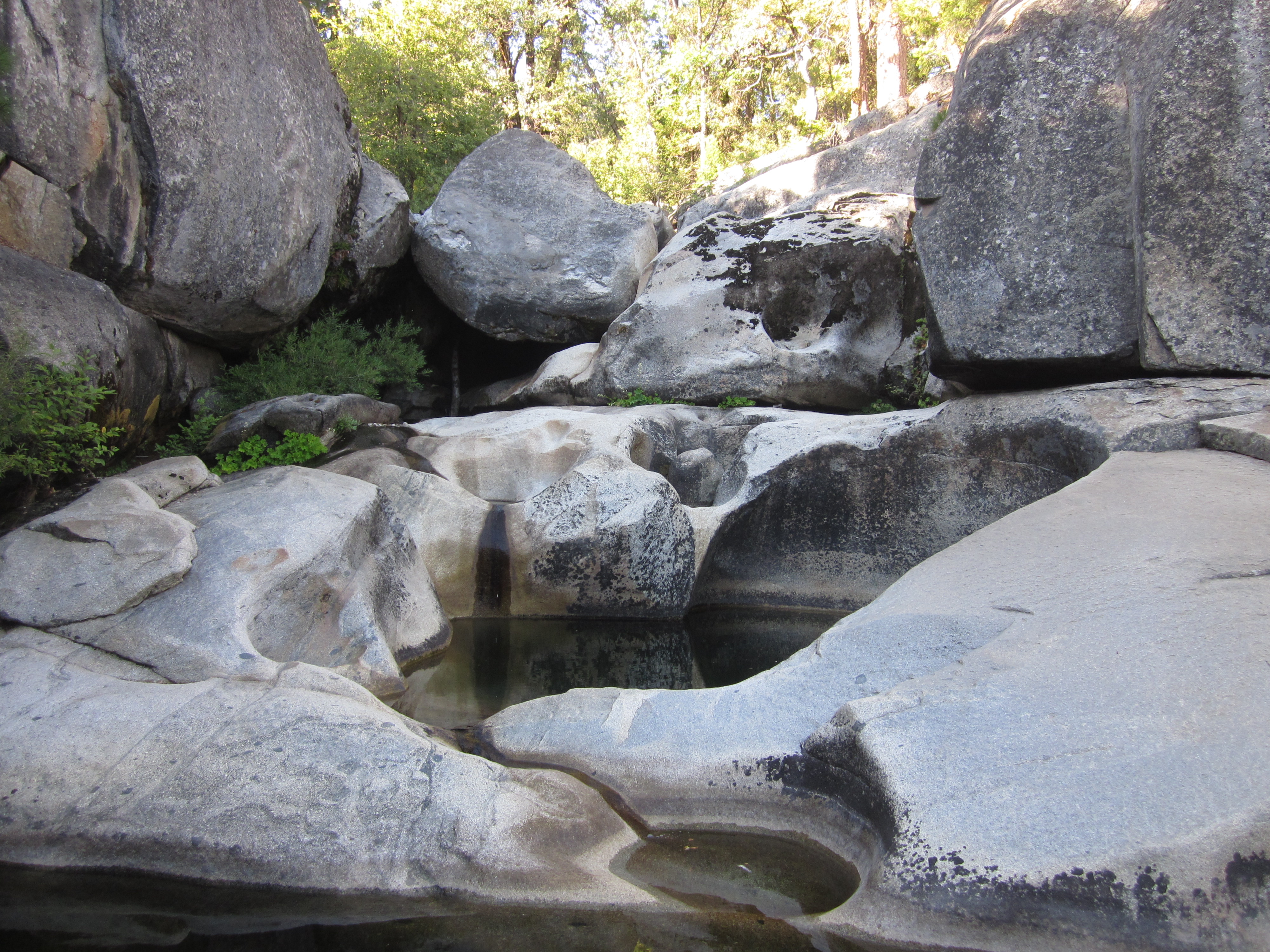
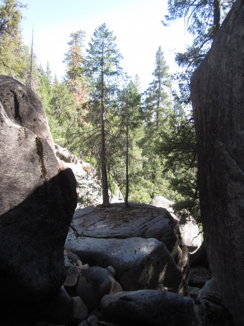
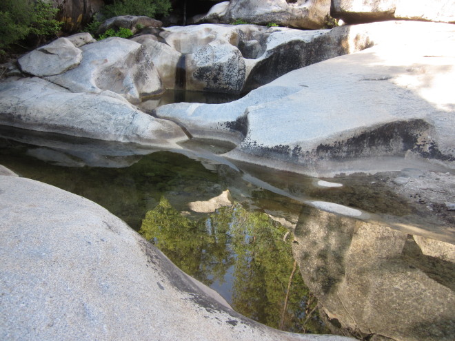
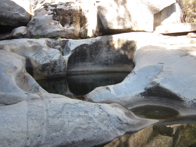
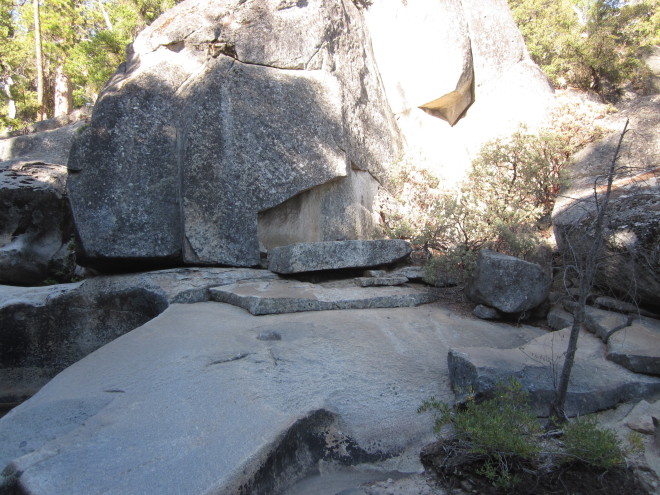
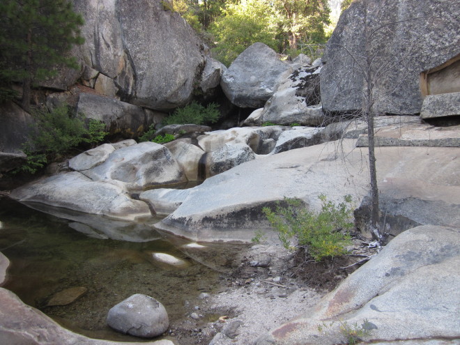
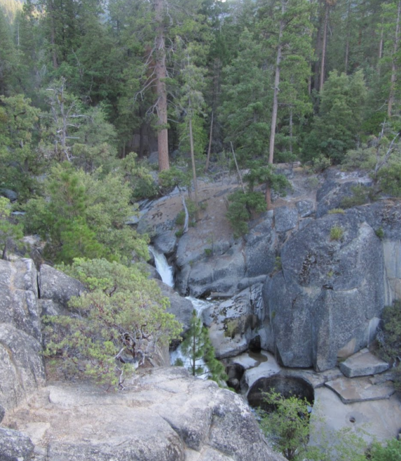
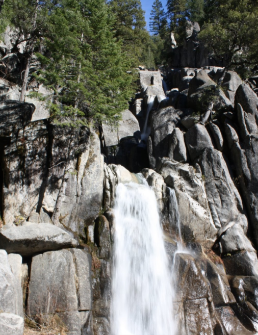
Scenery Summary: Chilnualna Falls consists of a 50-foot (15-meter) fall, followed by a series of pools and a 100-foot cascade, followed by a 240-foot (70-meter) capper of a cataract. Unfortunately, the trail doesn’t give you a particularly good view of the climactic fall. You see it from the side when you’re a quarter mile or so away, but then the trail disappears into the woods and you don’t see it again until the trail opens up near the granite shelf above the fall. You can’t get close enough from here to peer over and look down on the 240-foot fall (not the best point of view for a waterfall, anyway) without making it likely that the author of Off the Wall: Death in Yosemite will have to rush out a revised and enlarged edition. So until the park stewards build a viewing platform (which would be welcome at Illilouette Falls, as well), you’ll have to be content with hanging out by the cascades and lounging around the upper falls.
Best Time to Visit: In the spring, when there’s plenty of water rushing over the falls. This relatively low-elevation hike can get unpleasantly hot by midsummer.
Crowd Factor: Light but not lonely.
Nearest Bathrooms: There are outhouses at the trailhead parking lot. If you have a sensitive nose, you can find bathrooms with plumbing at the Wawona Hotel and at the far end of the Wawona General Store/Pioneer History Center parking lot, about two miles away.
Nearest Snacks: At the Pine Tree Market, half a mile back the way you came. There’s also a general store and restaurant at Wawona, roughly two miles (3.2 km) away.
Getting There: Start by finding the Wawona Hotel and General Store in southern Yosemite. They’re five miles (8 km) north of the south entrance and 21 miles (34 km) south of Yosemite Valley on Highway 41.
Once you’re at the Wawona, drive north across the bridge crossing the South Fork of the Merced River and then turn right on Chilnualna Falls Road. It’ll be the first right after the bridge, about a hundred meters north of it. Once you’re on Chilnualna Falls Road, go just over 1.5 miles (2.5 km) to the trailhead parking lot, which will be on your right. Here are Google Street View panoramas of the Chilnualna Road turnoff, the turnoff to the parking area, and the trailhead area.
Parking: There’s a dirt lot near the trailhead. It holds twenty or so cars, and it’s rarely full.
Text from http://www.yosemitehikes.com
Categorised as: Uncategorized