Deukmejian Creek
Deukmejian Creek Trail
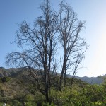
Deukmejian is truly one of the treasures of Glendale, this trail remained closed for a couple of years due to the Station Fire. Thanks to the efforts of many volunteers, they’re slowly but surely re-opening and new trees are being planted, watered and cared for.
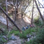
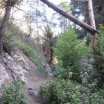
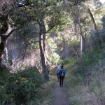
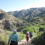
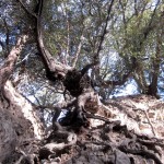
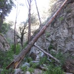
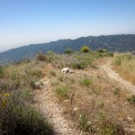
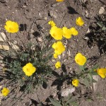
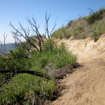
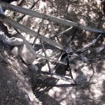
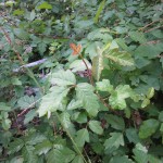
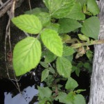
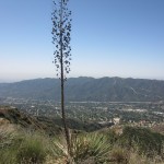
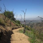
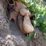
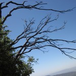
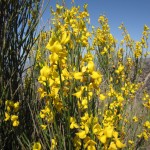
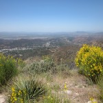
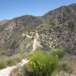
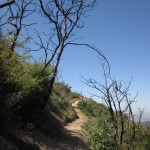
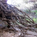
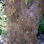

This is a short, but spectacularly-fun and beautiful hike. It starts by passing two distinctive oaks – one that survived the fire next to a charred one still struggling. We climb to catch great views of Glendale, the Verdugos and the Santa Monica Mountains from the Rim of the World Trail. Then we continue down for the real treat: to a cool canyon and creek that involves lots of scrambling, going over fallen trees and climbing some rocks to get ahead (and helping hands from your fellow hikers) as we hike back to a pretty waterfall for a break before heading back. Please wear pants and hiking boots for this hike. There was a lot of POISON OAK and IVY so take this trail carefully!!
There is also an option to hike to the top of the mountain for those of you who will want to get in a longer hike and workout, it is worth it!
Stats below are approximate.
STATS
Level: Advanced Beginner (with rock scrambling)
Gain: 500 feet?
Distance: About 2-1/2 to 3 miles
Time: About 2 hours (1 to 1.5 hours longer if you want to go the top of the mountain)
Type: Out-and-back. Combination of some fire road and single track trail, with a good amount of scrambling over wet rocks once in the canyon. About 50-50 sun/shade.
Dogs: Permitted on leash
Restrooms: Available just off the parking lot, adjacent to the stone barn.
Water: Drinking fountain available outside restrooms.
Parking: Free lot on site.
Bring: Cameras, plenty of water, sunscreen, a hat, and some snacks to share at the falls.
Other: Lugsoles or trailrunners recommended; the trail has a lot of loose, and in sections, wet rocks
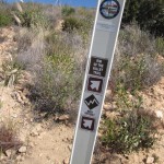
DIRECTIONS
From the 210 freeway, take the Pennsylvania Ave. exit and head north to Foothill Blvd. Turn left on Foothill, and then turn right on New York Ave. Continue north on New York until it dead ends at Markridge. Turn left on Markridge, and take the next right into the park. Drive north past the grapevines and park in any of the lots near the top of the hill (the lot on the right is closest to the barn where we’ll meet).
Categorised as: Uncategorized
Leave a Reply
You must be logged in to post a comment.